On to a new Country
Our original intention was to leave Ardglass and head into Carlingford Lough for an evening in the sunshine! Sadly that was not to be, the weather gods had decided that this was to be a day of drizzle and mist. We left Ardglass just after 6:30 and were at the Carlingford Lough bouy by 10:30 in time to take the last of the flood tide up through the narrow entrance to the Lough. The tides in this area are interesting in that the tide floods and ebbs around the island of Ireland from both ends and the area where they meet starts at around Carlingford Lough and extends down to close to Dublin Bay. In this area the tide up and down the coast is negligible but there are still strong currents in and out of the Loughs - so we needed to ensure that if we were going to enter the Lough we did so on a flood tide - hence the early leave. We closed on the Lough entrance bouy in drizzle and poor visibility - so poor in fact that we were unable to see the Mourne mountains which was a huge disappointment for me. As the weather was so poor with no sign that it was going to improve we decided that we would press on down the coast using what little ebb tide there was (the tides had changed direction here!) with the aim of reaching Howth on the edge of Dublin Bay. It was going to be a long day but had we gone into the lough we would have not seen anything much and probably spent most of the day on the boat sheltering from inclement weather! So we turned the music up cooked up some hot pasties and carried on!
Carligford Lough also sits on the border between Northern Island and the Republic of Ireland so as we pressed south it was time for me to hoist another courtesy ensign.
Carligford Lough also sits on the border between Northern Island and the Republic of Ireland so as we pressed south it was time for me to hoist another courtesy ensign.

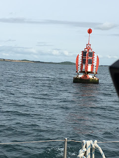
Carlingford Lough Bouy
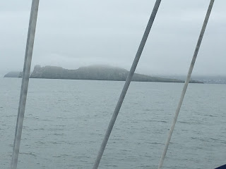
As predicted the journey down the coast was fairly dull especially when the fog closed in! At several times the visibility reduced to less than half a mile and we were in our own little fog enclosed bubble but at least we were able to sing loudly to the music with no-one to overhear us! Our course took us quite a long way off the coast so for a while not only were we enclosed in the fog but even when it did lift we couldn't see anything other than the horizon! As we closed on the coast again we began to spot both fishing boats and the floats that the fishermen use to mark their strings of creels. We also threaded our way through the Skerries and eventually spotted through the murk the island known as Irelands Eye which sits at the entrance to Howth Sound and the entrance to the harbour.
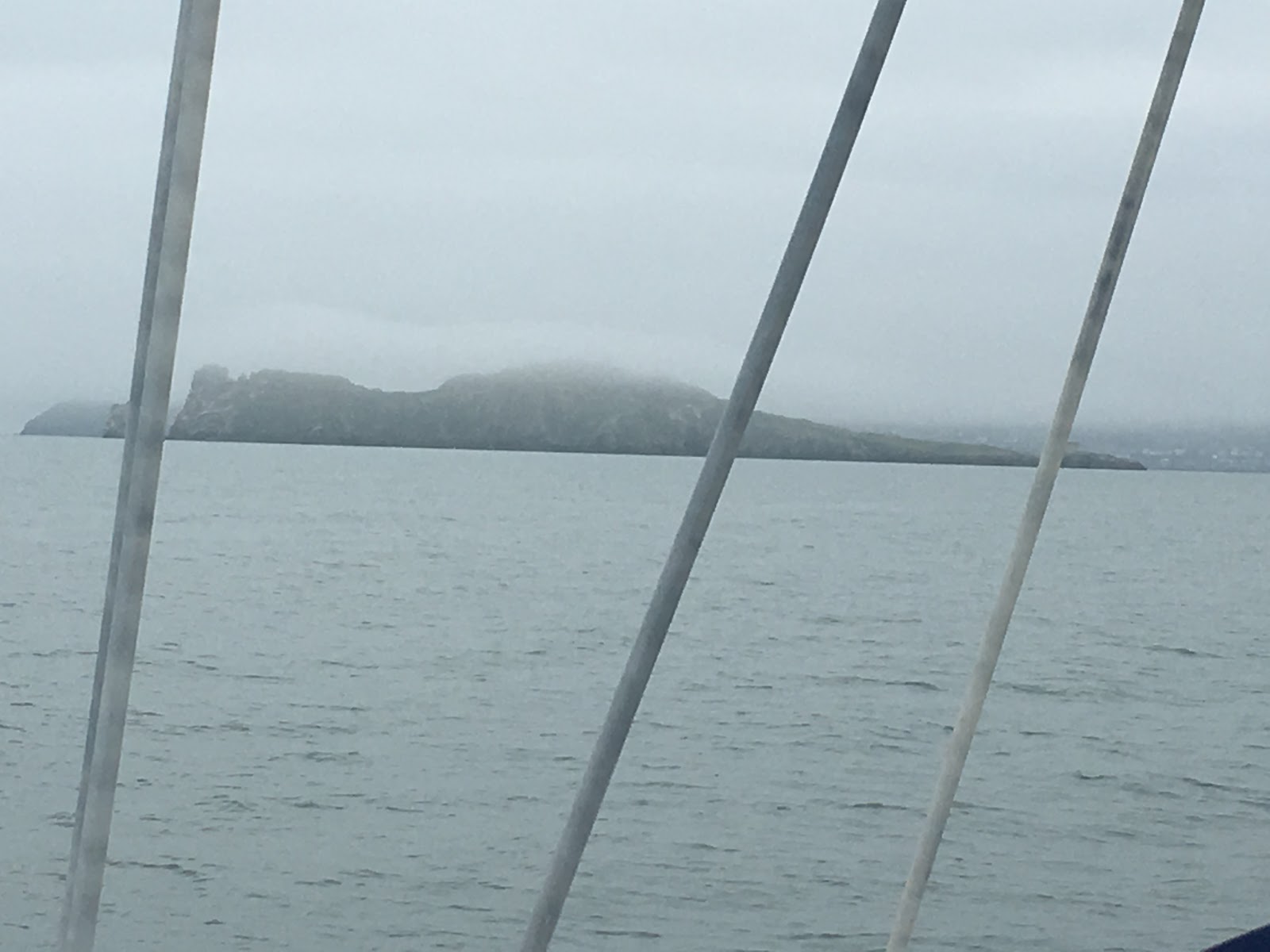
Irelands Eye emerging from the mist
After about 10 hours we chugged into Howth Marina and tied up with the mist and fog still rolling in and out.
Howth is a village on peninsular which borders Dublin bay and according to Wiki it is a suburb of Dublin - according to folk I spoke to in the Marina Howth is an historic fishing village which just happens to be 7 miles from Dublin! One of it's major claims to fame is that in 1914 Erskine Childers and his wife landed 900 rifles in Howth for use by Irish Volunteers in the Easter uprising against the British - so it is a fiercely proud community. It also has a very large trawler/fishing harbour and alongside the harbour are some really good fish restaurants that basically take the fish as it is landed and serve it up that evening. Needless to say the skipper and I spent a lovely evening eating some of the freshest skate possible - went down really well with a bottle of sauvignon blanc!
As we had made such good progress we decided to treat ourselves to a couple of days off and spend at least one of them in Dublin before moving on further south.


Comments
Post a Comment